Mountaineering Expedition ‘Blue Viking Tiger’, Norway – August 2006
Oxford University Officer Training Corps
We arrive in the Lofoten islands in the middle of the night following a mammoth car drive – seven hundred miles to the Arctic Circle and then another two hundred miles further north. Eventually, we found our campsite and wearily pitched our tents, hoping for our first sight of the mountains we had to climb in the morning.
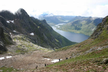 Descent to first corrie over scree |
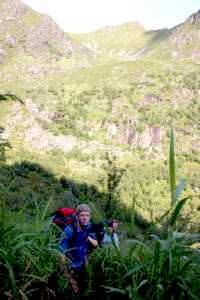
This was not to be. Our first few days in Lofoten were blighted with bad weather. Clouds hung over most of the mountains and rain pounded our tents, flooding the field we had made our home. Each member of the group had prepared themselves for the challenging mountaineering Lofoten was reputed to have. Being limited to only the smallest peaks on our itinerary was exasperating. As the rain lingered on into the third day it looked as though we would not be able to achieve our objective – climbing the highest peak on every island. However, on our fourth day on the islands the appalling weather was driven away and replaced with gorgeous sun. We could finally start the mountaineering proper, and began with the highest mountain on the islands, Higravtinden. It did not take us long to discover why the mountaineering in Lofoten is so tough. We took a route up a large re-entrant to the West of the peak, the least steep according to the map, but the gradients were still fearsome, and we regularly broke into scrambles. We struggled our way to a ridge-line just before our intended peak – a knife-edge which had a sheer drop to a glacier on the far side – and took a well deserved break for lunch. As we looked up the only possible route to the peak, we soon realized it would be unfeasible to negotiate safely. It was less than a meter wide with vertical drops on either side. Disheartened, we descended. Despite this setback, we successfully completed a further four peaks over the next few days. The mountaineering was much like that encountered on Hirgravtinden – there were few shallow gradients to climb. The peak we ascended on the island of Litlmolla, however, deserves special mention. Nontinden was a low peak at 543m, and yet it required the most difficult mountaineering I have ever experienced. We chartered a boat to the island, and when it dropped us off at a valley east of the peak I was surprised at what I saw. The area was like a jungle – dense undergrowth, a humid atmosphere and omnipresent biting insects. This was not what I had expected from the Arctic Circle! Our route up was nearly entirely a scramble, but to make matters worse the rocks were all coated with slimy moss. We were soon wishing we had brought a longer safety rope. However, the climb proved worthwhile. The view from the tiny island allowed us our best view of Lofoten we had, allowing us to see most of the Northern islands. After six solid days of mountaineering our goal was nearly in sight. As we drove down to Southern Lofoten I fully hoped to climb for another three days. Unfortunately, the mountaineering had taken a toll on the group; everyone was desperately in need of a rest. After a day’s R&R I knew we would not be able to attempt every mountain we had planned to. We went on to climb a further two mountains. Despite not achieving our goal we had completed some formidable peaks and undertaken demanding adventurous training. It has been an immensely satisfying expedition.
|
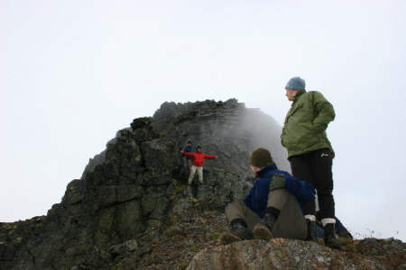 It was this big! |
|
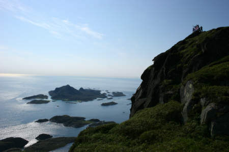 Wave to the cameraman! |
|
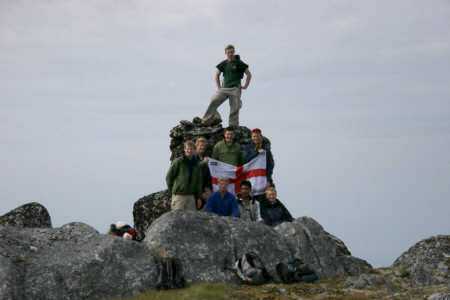 Last Peak |
 The Arctic Jungle |